Hello fellow Explorers!
This is a companion post to this video on our channel:
I just wanted to explain how it came to be driven, I’m not sure if it was planned or discovered whilst I was travelling around as I’ve lost the original route plan however I noticed it was two lanes (Other route with public access/UCR’s) connected by a white road.
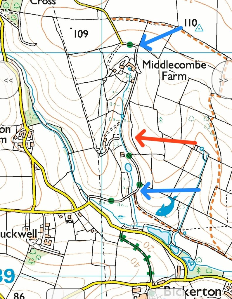
As you can see in this picture it clearly looks to be a straight through route however the section with the red arrow is effectively ‘lost’ and not public, the sections with the blue arrows are the only public sections
When I arrived the lane was signposted with no ‘no through route’ mentioned, commonly when out laning if they are signposted and they aren’t a through route they usually include something that’ll indicate that the byway is a no through route, alas this did not.
I had just completed a lane that in the map above shows as a yellow road but isn’t it’s actually a signposted UCR.
So I started at the bottom and made my way North, as I progressed I came across a roadwork sign which I accidently broke apart when I caught it with my back end I hastily put it back together and wondered what works were happening as I got further I came across two workmen cutting back and clearing the lane, I had to carefully negotiate around their work truck then I came across a gate with a distinctive red arrow and a stile, the workers had already opened the gate and so I progressed forwards.
Most of the UK have byways open to all traffic marked with red way marker arrows so all indication was that this was a through route and no longer a UCR but a vehicular byway (BOAT)
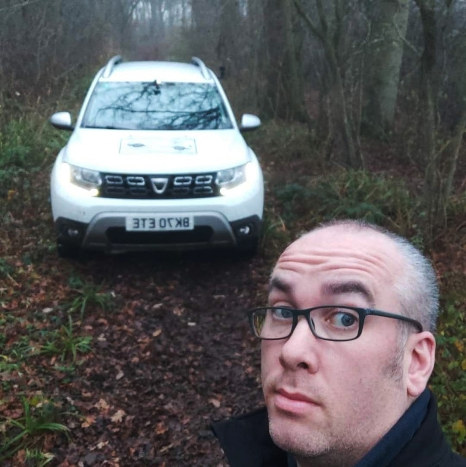
I now had one hell of a battle through the undergrowth to climb the hill as I do so I hit a small hidden wall in the undergrowth I damaged my duster slightly on the bumper. I then came across a branch blocking the route so I got out and quickly cleared I could see just ahead there was a gate to which I saw some people looking back at me, I continued up to the gate to find they had what looked like a mini roundabout shaped pool of wet concrete,
Oh great I thought, I asked them if there was any way around and they said there’s no road here, I explained that it’s sign posted but they gave the same response so I managed to turn the Duster around in one of the hardest densest parts of the lane causing further bodywork damage and headed back down
When I saw the workers I mentioned what had occurred and asked them how far they are cutting back they said they’ve been tasked to cut back the byway xxx with xxx being the number of the byway but unfortunately I didn’t hear it properly,
I decided to go round to the top of the lane and check out the section coming back down south this again was signposted and as I came off the tarmac it turns into a tight narrow sunken section, this had some wood debris blocking the route and as I knew I couldn’t complete the route I stopped had a quick look on foot and reversed. In the video the camera is knocked by a tree and as such you can’t see the sunken turn but it was a pretty cool looking track that was begging to be completed I carried on my journey then got in touch with the council and this is what they said:
Hello Adam,
This route is signed at each end as it is recorded as public highway – see attached map. However, they are effectively two dead end spurs and don’t form a continuous through route. The Trail Riders’ Fellowship (TRF) have submitted that application that you saw online to have the middle section added to the Definitive Map of Public Rights of Way as a Byway Open to All Traffic (BOAT). This application has not yet been determined. If it is successful then the route would become public but due to legislative changes it will only ever be able to achieve Restricted Byway status, so not open to motorised vehicles. The TRF submitted multiple applications in the hope of pre-empting the extinguishment of vehicular rights brought about by the Natural Environment and Rural Communities Act 2006 but unfortunately for them it was back dated.
I will forward your email to the area warden as it may be that we can arrange some signage to warn users that the routes are cul-de-sacs.
So, now that’s been clarified I’ve added that information to Trailwise 2 from the Green Lane Association and marked it in the video. If you have any queries about this or the video please do get in touch!